Warsaw in voxels: An interactive 3D map of the city centre
Explore central Warsaw in voxels with interactive weather, time of day, and pedestrian control inspired by Minecraft.
·1 min read
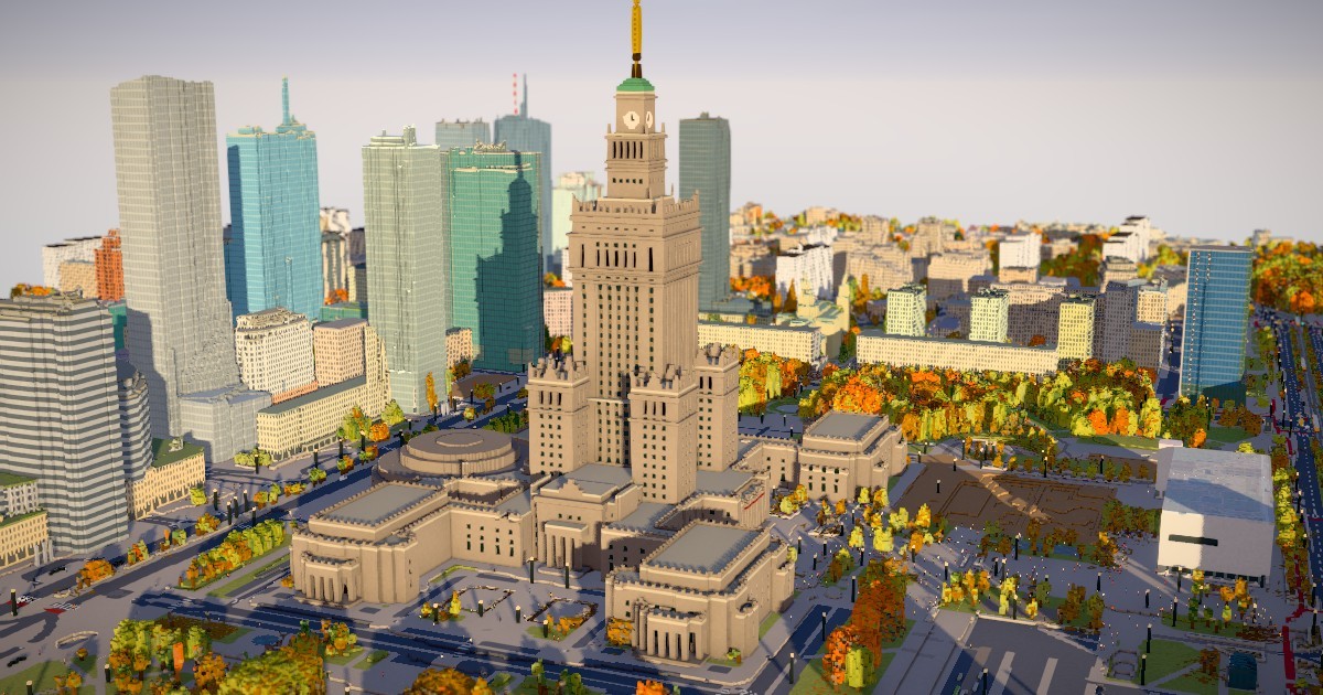
The Warsaw in voxels project lets users explore the central area of Poland's capital through a unique voxel-based 3D environment. Slightly inspired by Minecraft and MagicaVoxel, the interactive map brings a fresh perspective to urban geography.
Key Features of the Voxel Map - Interactive 3D representation of central Warsaw in voxels. - Adjustable date, time of day, and weather conditions. - Interactive pedestrians that users can click on and control. - Fully open-source project available for the community.
Open Datasets Used in Development To build this detailed virtual city, the creator utilized several reliable open datasets. OpenStreetMap provided structural information including buildings, streets, sidewalks, and tram tracks. Additionally, GUGiK and Geoportal supplied LiDAR data for building heights and tree structures, while Warsaw's official tree database helped accurately render seasonal foliage across the city.
Platform Availability and Access Although the application performs best on desktop computers, the developer has made efforts to ensure usability on mobile devices as well. Initial loading times may take a while depending on the connection and device. The project is completely open-source with its repository hosted on GitHub, inviting developers and enthusiasts to reuse and build upon it freely.
Source: Hacker News: Front Page